Robert Frost wrote that good fences make good neighbors.
Yet when it comes to virtual fences, visualized as maps, I’m not sure there is any way to create “good fences.”
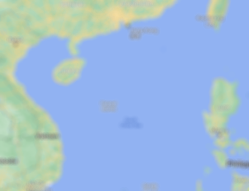
So many regions around the world are under dispute. And even regions that may appear settled may be anything but.
Consider the following…
- China has 17 territorial disputes, including Taiwan, Japan, Vietnam, Indonesia (to name just a few)
- Vietnam forced Netflix to drop an Australia TV show over a map (link)
- Even the US and Canada don’t see eye to eye over five territories
I’ve long written about the problems of using flags on your website, particularly for navigation.
But maps often present a much larger geopolitical challenge. If you can avoid using them, do so.
5 Reasons to Avoid Using Maps on Your Website
- Maps never stop changing. Unless you have someone in house who is in charge of keeping an eye on all maps at all time, you’re probably going to run into an issue in which some border somewhere is redrawn and you miss it.
- Maps are visual and cultural flash points. As noted above, people and politicians naturally respond to any perceived slight made via map. What may seem minor to you may be anything but minor to someone in another region or country.
- Maps are inherently incorrect. The physical limitations of displaying a globe on a flat plane means that some regions of the world will end up appearing either too small or too large. From the Mercator to the “orange peel” map there is no perfect map.
- Maps add weight to a web page. Maps are visuals. And, as with all visuals, you need to have a very good reason for including it other than “it looks nice.”
- Maps may be biased. Let’s suppose you display map to visitors of your .com site. What region of the world do you display by default? Ideally you might use geolocation to tailor it to the visitor. Also, let’s suppose you display static regional maps as icons. What region includes what country? There are no hard and fast rules here. Some say Russia is part of Europe; other says it’s part of Asia. In other words, it’s impossible to avoid displays some sort of bias when you display a map or region. By knowing this beforehand you may be better positioned to minimize risk.

What about embedding Google Maps?
If you must include a map, then leave the heavy lifting to someone else, such as Google or Microsoft. But keep in mind that they too are navigating these many issues with their maps. And just because they take risks by creating the maps you take risks by displaying these maps in your target markets.

Also, keep in mind that geopolitical issues can arise in surprising places, like within automaker VW’s onboard navigation system.
To learn more about global navigation best practices, check out the Web Globalization Report Card and Think Outside the Country.